Identity area
Reference code
WB IBRD/IDA DAVIS-14
Title
Indonesia maps and charts
Date(s)
- 1978 - 1986 (Creation)
Level of description
Series
Extent and medium
0.60 linear feet of maps, charts, and drawings
Context area
Name of creator
Repository
Archival history
Immediate source of acquisition or transfer
Content and structure area
Scope and content
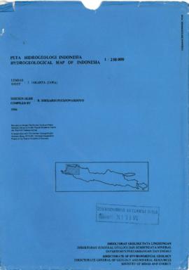
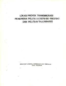
This series principally contains maps, but it also includes some oversize organization charts and schematic drawings. Approximately half are commercial maps of Indonesia, the remainder are maps created for projects funded by the Bank. Some project maps are hand colored or annotated.
The maps are extremely useful for studying the Bank funded transmigration projects, particularly the surveys undertaken in 1978 and 1979.
Appraisal, destruction and scheduling
Accruals
System of arrangement
Conditions of access and use area
Conditions governing access
Records are subject to the World Bank Policy on Access to Information.
Conditions governing reproduction
Records are subject to the Copyright Policy of the World Bank Group.
Language of material
Script of material
Language and script notes
Physical characteristics and technical requirements
Finding aids
An inventory list is available here.
Allied materials area
Existence and location of originals
Existence and location of copies
Related units of description
Notes area
Alternative identifier(s)
Access points
Subject access points
Place access points
Name access points
Genre access points
Description control area
Description identifier
Institution identifier
Rules and/or conventions used
Internal World Bank Group Archives rules based on ISAD(G).
Disclosure status
Level of detail
Dates of creation revision deletion
30 June 2009